 Trails and pilgrimage routes
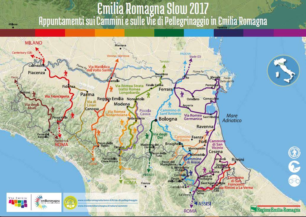
Among the various paths across the Apennines to Lucca and Rome, the Linari Way is an old road off the Via Francigena, named after an abbey on the border between Tuscany and Emilia-Romagna.
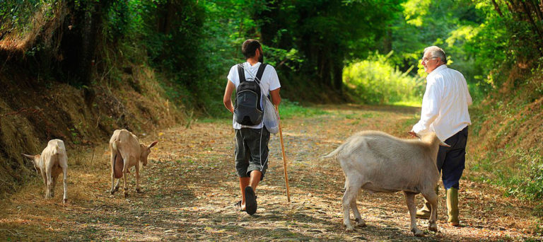
It was established as a safer route to Tuscany compared to the Via Francigena, and it soon became an important road both for pilgrims on their way to Rome and as a trade route for the city of Parma.
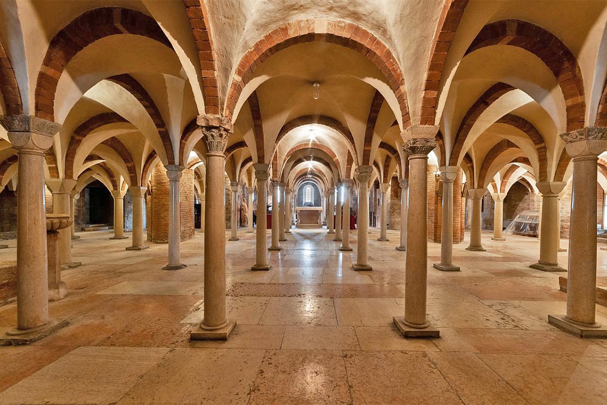
Like the St Vicinio Way, the Linari Way was dotted with parish churches and hospitalia, places where travellers could find shelter from the elements and bandits.
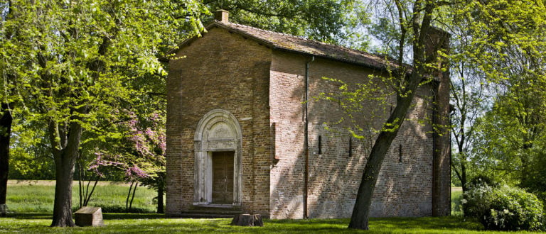
The Way takes its name from the Abbey of Linari, a building that stood on the mountain ridge and was of fundamental social, political and religious importance for all the highlands. Its lands stretched from the Lunigiana area to the Val d’Enza and from Traversetolo to Lesignano de’ Bagni, encompassing much of the mountain area dividing Tuscany from Emilia-Romagna.
The Way was used, especially during the Middle Ages, as a safe route for pilgrims and wayfarers. From the 13th century, it also became an important communication route to and from the city of Parma, which used it as both a salt supply line and a link to Tuscany and the south.
Despite its ancient history, the route was named Linari Way in 2016, when it was recognised as one of Italy’s historical spiritual paths.
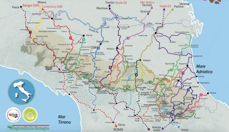
The route can be divided into eight stages that can be tackled one by one or all at once.
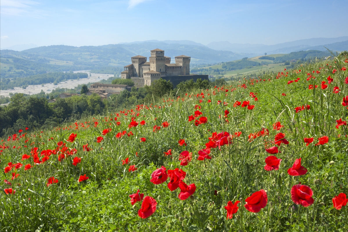
The route, which runs along the Parma stream, passes Torrechiara Castle, which, with its Benedictine monastery, marks the north-west entrance to the great UNESCO Biosphere Reserve of the Tuscan-Emilian Apennines. It then reaches the Enza Valley and the Lagastrello Pass, descending into Tuscany along the Taverone all the way to Aulla.
Services and practical information
The official website of the Assapora Appennino Group offers information on the route’s various stages plus details on where to eat and sleep as well as landmarks and monuments that can be visited along the way.
Italian regions traversed: Emilia-Romagna, Tuscany
Here is a list of the 8 stages of the Linari Way:
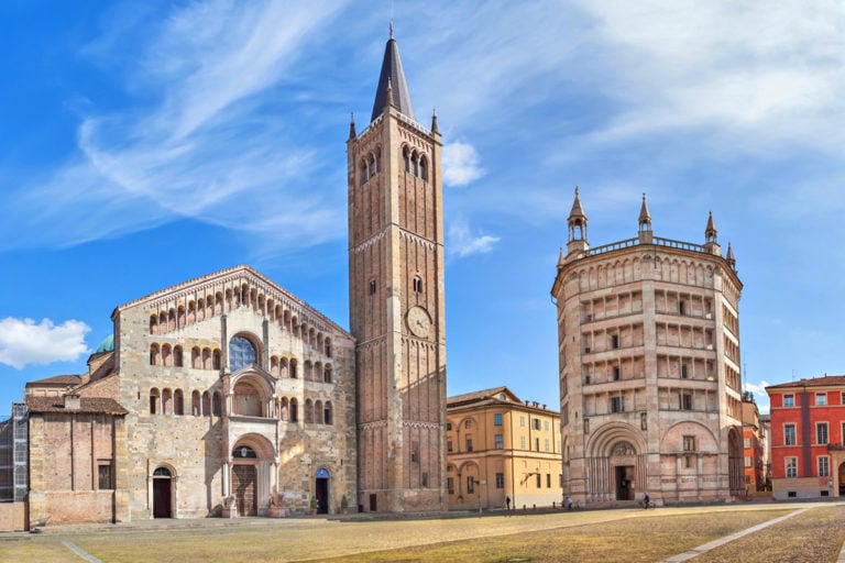
Stage 1 | Fidenza – Parma (13.4 miles)
Stage 2 | Parma – Torrechiara (11.5 miles)
Stage 3 | Torrechiara – San Michele Cavana (8.4 miles)
Stage 4 | San Michele Cavana – Tizzano Val Parma (10.3 miles)
Stage 5 | Tizzano Val Parma – Ranzano (8.4 miles)
Stage 6 | Ranzano – Palanzano (5.9 miles)
Stage 7 | Palanzano – Rigoso (9.6 miles)
Stage 8 | Rigoso (3.7 miles)
Total length: about 71 miles
Difficulty: medium
For any info about [Emilia Romagna Slow] please contact <m.valeri@aptservizi.com>
Author

Walter Manni
Explorer and Adventurer: loves sailing the oceans, climbing the highest mountains and surfing on the waves of the web
You may also like
Route Planner: Sloways in Emilia Romagna
by Walter Manni /// July 31, 2024
Emilia Romagna Slow | The Francigena Way
by Walter Manni /// May 2, 2017
The most beautiful Parish Churches in Emilia-Romagna
by Davide Marino /// February 28, 2019

Interested in our newsletter?
Every first of the month, an email (in Italian) with selected contents and upcoming events.
Monasteries and Spiritual walks in Emilia-Romagna
by Davide Marino /// May 3, 2019
Route Planner: Sloways in Emilia Romagna
by Walter Manni /// July 31, 2024
Emilia Romagna Slow | The Francigena Way
by Walter Manni /// May 2, 2017
The most beautiful Parish Churches in Emilia-Romagna
by Davide Marino /// February 28, 2019
Monasteries and Spiritual walks in Emilia-Romagna
by Davide Marino /// May 3, 2019
Rachele Grassi
Una delle ramificazioni della Via Francigena, che attraversa un paesaggio suggestivo dalla storia antichissima, oggi Patrimonio dell’umanità MAB UNESCO.
https://www.facebook.com/visitvallicavalieri/
Walter Manni
Ciao Rachele,
questo è la versione inglese del blog, se vuoi puoi segnalare la pagina Facebook della Valle dei Cavalieri anche sulla versione italiana a questo link > http://www.travelemiliaromagna.it/emilia-romagna-slow-via-dei-linari/