Whether you travel with family or friends, to go with a camper means to be carried away by a deep sense of freedom and independence. This meaning of travelling is different from the one we are used to: the single destinations disappear and the journey itself becomes the real destination.
On a camper you can stop where you want, you can eat whenever you want, but most of all you can go wherever you like to (almost).
It is a sort of return to the origins – en-plein-air, for tourism that aims to link places, discovering their cultural, natural food-and-wine and social realities.
… It should not be forgotten the sense of comfort and safety that travelling with camper can offer you once you come back from a day of walks, and not to mention the economic advantages deriving from careful planning and saving of costs. Just think about a trip among friends, their costs are equally divided.
For all these reasons and furthermore not mentioned, we all of the Turismo Emilia-Romagna staff have decided to offer you some additional information on this subject, in case you are interested in discovering our lands right in a camper.
From this point of view, the Emilia Romagna is a strategic region not only because it is well-connected, but also because it has an extraordinary heritage of art, ancient villages, castles and nature reserves all to explore.
Today we launch this new column and we bring you to the Apennines of Reggio Emilia, on the border between the regions of Tuscany and Emilia, in the centre of the national park Tuscan-Emilian Apennine National Park, previously named Parco del Gigante (Park of the Giant). The route starts from the municipality of Castelnovo ne’ Monti, then it proceeds on the Cerreto pass and later on the Cirone pass. From there the route descends along the Lunigiana region, leaving briefly the regional borders, and then it continues entering again the Emilia Romagna region through the Lagastrello pass, arriving in the end where the route started.
We chose this area because it is the ideal trip for all those who are in search for direct contact with nature and that want to go for a medium-difficulty hike without going too far away from the camper. This whole area thanks to the five crossing places (Passo Della Pradarena, Passo del Cerreto, Passo di Lagastrello, Passo Cirone e Della Cisa) ensures you easy access to the unspoiled spaces, even where the mountains seem hard to climb. The whole area is easy to reach and to visit thanks to detailed cartography and well-signaled streets and trails.
Enough talking, let’s get in our camper. The peace of the mountains is waiting for us, let’s go!
1st Stop | La Pietra di Bismantova
Stop: in the parking called Piazzale Dante, at the feet of the mountain
Stop time: 1 day
It is considered the most beautiful mountain in the region, even Dante wrote about it in the Divine Comedy, and it is the identity emblem of the whole area. Lonely and imposing, Pietra di Bismantova (Stone of Bismantova) rises at a height of 300 m, covering a distance of approximately 1km with a brightness of 240m.
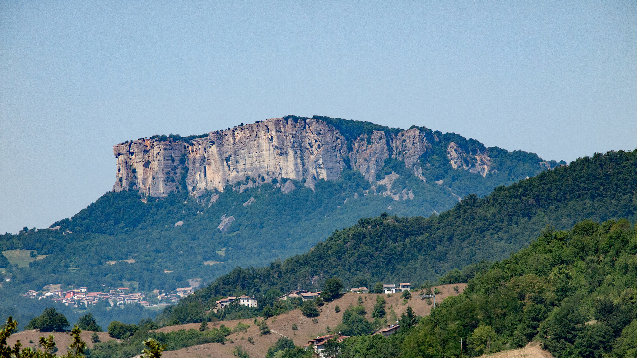
Pietra di Bismantova | Pic by Paul Barker Hemings, via Flickr
Several paths, most of them traced by CAI (Italian Alpine Club), allow you to reach on foot, by bike or riding a horse the area, converging all in Piazzale Dante, the nearest parking lot to the top of the mountain.
From here a short ramp leads to the Benedictine hermitage, a modern church that is also a shelter and a guest house. Proceeding towards the top, you reach enchanting grasslands and woods that cover the whole mountain like an immense green balcony.
2nd Stop | Cerreto Pass and Lake
Stop: near the Pranda Lake, alongside the street that connects The Cerreto pass to the Cerreto Lake.
Stop time: 1/2 days
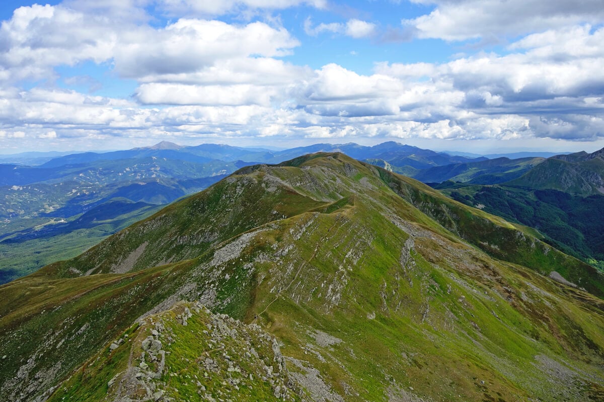
The entire landscape until reaching the town of Collagna is characterized by huge hills. Once you arrive near the Cerreto pass, the skyline takes unexpected and surprising forms. On the right, the mountain Alpe di Succiso catches visitors’ eyes and invites them to take the walk towards its 2000m height. The paths gradually takes different difficulties: at first it will be easy until the scenic crossing called Ospedalaccio (1271 m), while proceeding towards the source of the Secchia river the trail becomes more challenging (1536 m – it takes an hour and a half from the start) and it becomes even harder going on to the top.
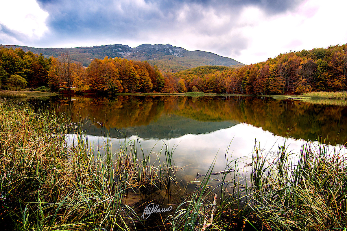
Pranda Lake | Pic by Mauro Malvolti, via Flickr
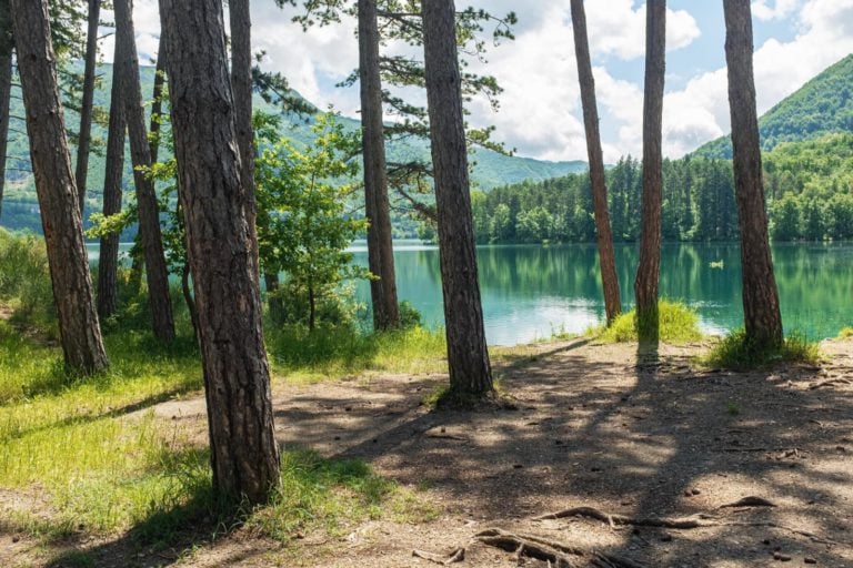
The Monte Cavalbianco is not easy to reach, but once you arrive, you can admire from the grasslands at high altitude the breath-taking view over the surrounding spaces. We suggest you follow the narrow road that from the Cerreto passing heads to the homonymous lake. Proceeding along this narrow street you will reach, nestled among the woods and surrounded by easy to use spaces, the Pranda lake.
3rd Stop | Calamone Lake
Stop: along the street, in the direction of the lake Calamone and the mountain Ventasso
Stop time: 1 day
Walking down the Cerreto passing and entering the region of Lunigiana you will come back after a 42km-walk in the region of Emilia, passing through the Lagastrello crossing, that in ancient times was used for trades and pilgrimages to Lucca and Rome. From this point, heading towards the mountain Ventasso, there are different interesting areas for nature lovers.
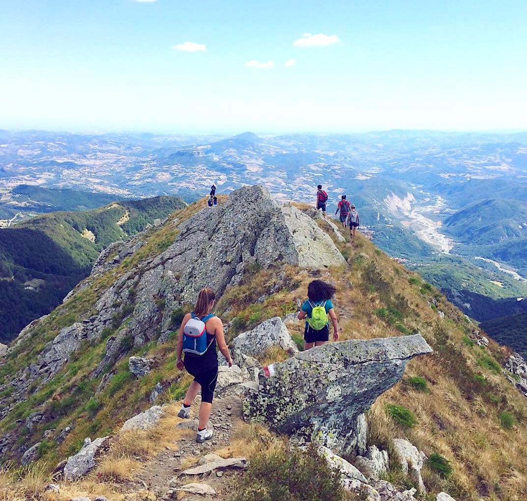
Monte Ventasso | Pic by @michelelipreri, via Instagram
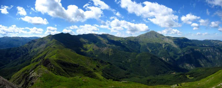
We particularly suggest a stop near the riverbed of the Secchia river in the Municipality of Collagna and a tour around the grasslands surrounding the Calamone lake before taking the paths leading to the peak of Monte Ventasso (1727 m).
4th Stop | Valley called La Valle dei Laghi Glaciali
Stop: Prato Spilla, Valditacca, plain Piana di Lagdei, and in Lagoni, near the lake
Stop time: 2/4 days
Several green valleys and little small lakes of glacial origin are the landscape’s features of the Cento Laghi Park. The territory is at a 1700 m height in the municipalities of Corniglio and Monchio delle Corti, between the crossing of Lagastrello and of Cirone. The whole area is covered by silent woods of beech and fir, and the sun here embraces grasslands and pastures, giving birth to a unique trail.
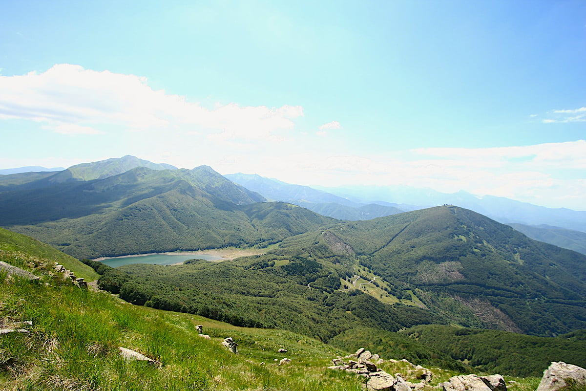
Parco dei Cento Laghi | Pic by Cristian Marchi, via Flickr
Among the several places in the area, we recommend Valditacca and the plain of Lagdei, deep in a green hollow. The area is easy to reach, it displays spaces where to stop and a chair lift that permits visitors to reach the highest places, like Lago Santo, the biggest natural stretch of water of the Apennines of Emilia-Romagna.
Author

Davide Marino
Davide Marino was born archaeologist but ended up doing other things. Rational – but not methodic, slow – but passionate. A young enthusiast with grey hair
You may also like
The Tuscan-Emilian Apennine National Park
by Elisa Mazzini /// March 19, 2018

Interested in our newsletter?
Every first of the month, an email (in Italian) with selected contents and upcoming events.
